| Apline Lakes:West Home | Contact Infomation | Statistics Explained | Map Information | Scope |
|---|
STATISTICS:
|
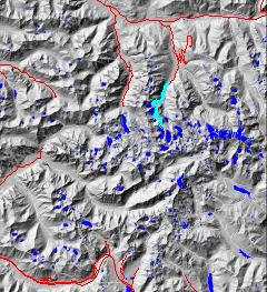
click on map to zoom in for trail location

|

West Fork Foss Lakes Trail #1064 Directions: Drive State Route 2 for 1.7 miles east of the Skykomish. Turn south onto Foss River Road #68. Continue on Road #68 for approximately 4.7 miles. Turn left onto Road #6835 and continue 2.0 miles to the trailhead.1
Attractions & Considerations: This trail climbs gently to Trout Lake. After Trout Lake, difficulty increases. From Trout to Copper Lake, the trail gains 2000 feet in 2.0 miles. No water is available on this section of the trail. Copper Lake is nestled among cliffs, meadows and talus slopes. The trail then climbs to Little Heart Lake before dropping to Big Heart Lake at the formal end of the trail1
1Source: USFS Trail Guide
return to Alpine West Home Page
Gregg Petrie ©2000
